About the Watershed
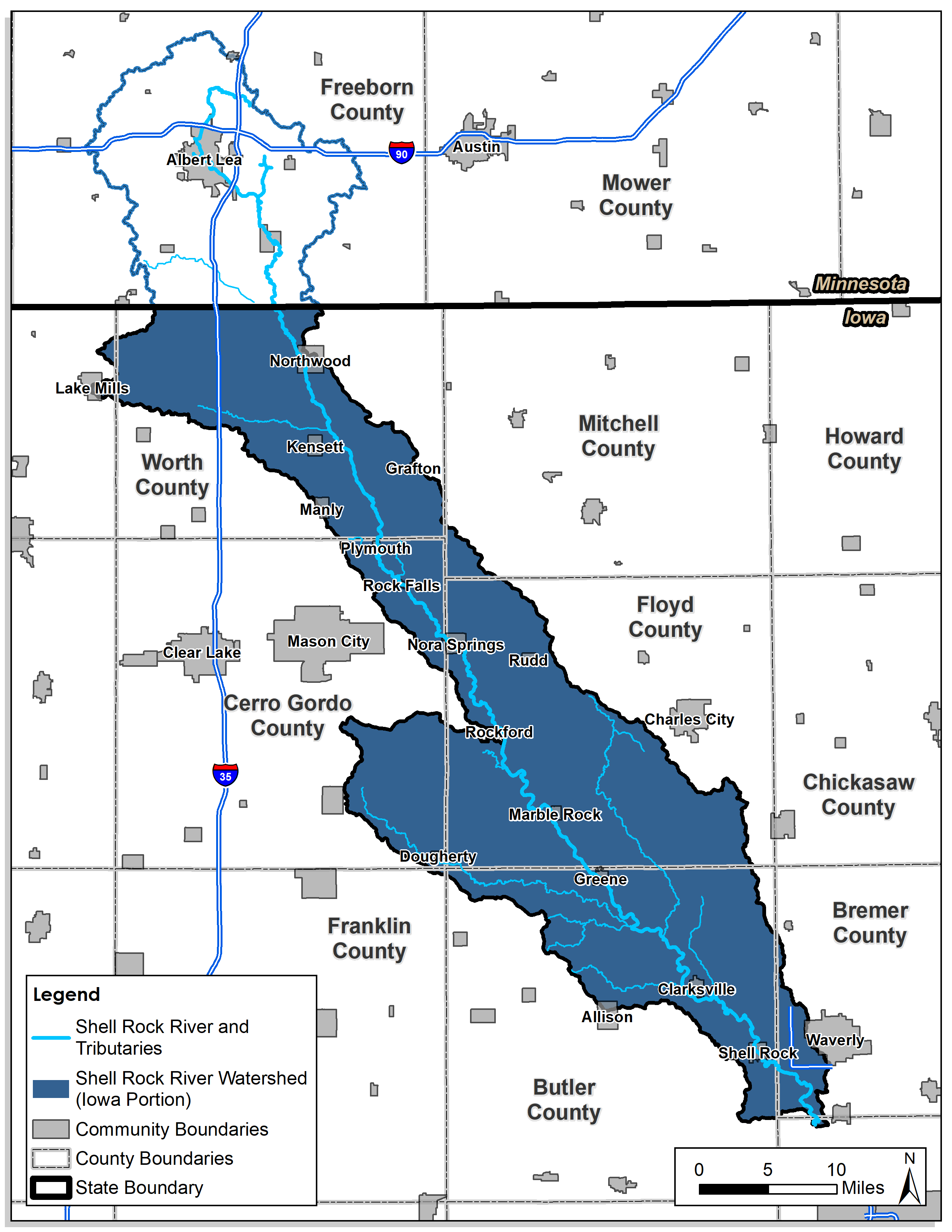 The Shell Rock River runs from Albert Lea, Minnesota to its confluence with the Cedar River a few miles north of Cedar Falls in Iowa.
- The full watershed is approximately 691,000 acres, with a little more than three-fourths of that area (533,000 acres) in north central Iowa.
- The Iowa portion includes partial areas of seven counties: Winnebago, Worth, Mitchell, Cerro Gordo, Floyd, Butler, and Bremer Counties.
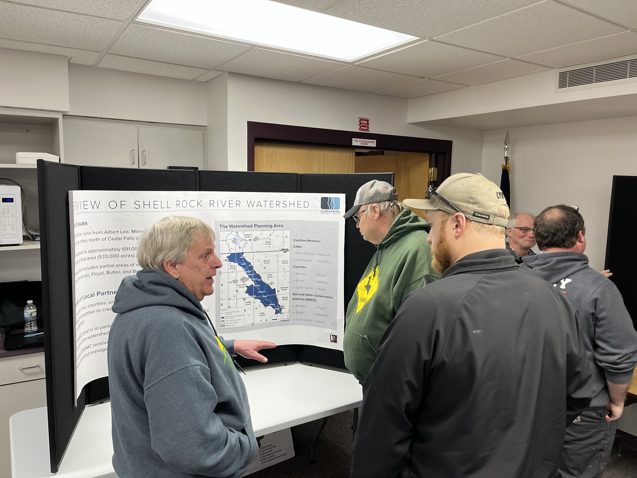
In 2021, several cities, counties, and soil and water conservation districts (SWCDs) voluntarily joined together to create the Shell Rock River Watershed Management Coalition (SRRWMC)
- The SRRWMC’s goal is to participate in the management and enhancement of the Iowa portion of the watershed
- In 2022 the SRRWMC received grant funding to begin the development of a voluntary watershed management plan.
- The watershed planning process is focused on the following issues:
- Water Quality
- Flooding
- Recreation
- The watershed plan will identify and prioritize projects and activities to address watershed concerns
- Implementation of the plan is based on voluntary cooperation between SRRWMC members, farmers, and other stakeholders.
Text Color
#414141
Grid Layout
Three-Column
SRRWMC Members
- The SRRWMC was formed through the voluntary signing a of Chapter 28E Agreement, which is an interlocal agreement, between eligible entities within the Iowa portion of the watershed.
- The SRRWMC does not have taxing authority and it may not acquire property through eminent domain.
- The coalition meets on a quarterly basis – copies of meeting minutes can be viewed via links near the bottom of this webpage.
- Currently the following cities, counties, and SWCDs are members of the SRRWMC:
Cities
- Nora Springs
- Northwood
- Plymouth
- Shell Rock
Counties
- Bremer
- Butler
- Cerro Gordo
- Floyd
- Mitchell
- Worth
Soil and Water Conservation Districts (SWCD)
- Bremer
- Butler
- Cerro Gordo
- Floyd
- Mitchell
- Worth
Background Color
#efeff0
Text Color
#414141
Grid Layout
Three-Column
The Watershed Plan
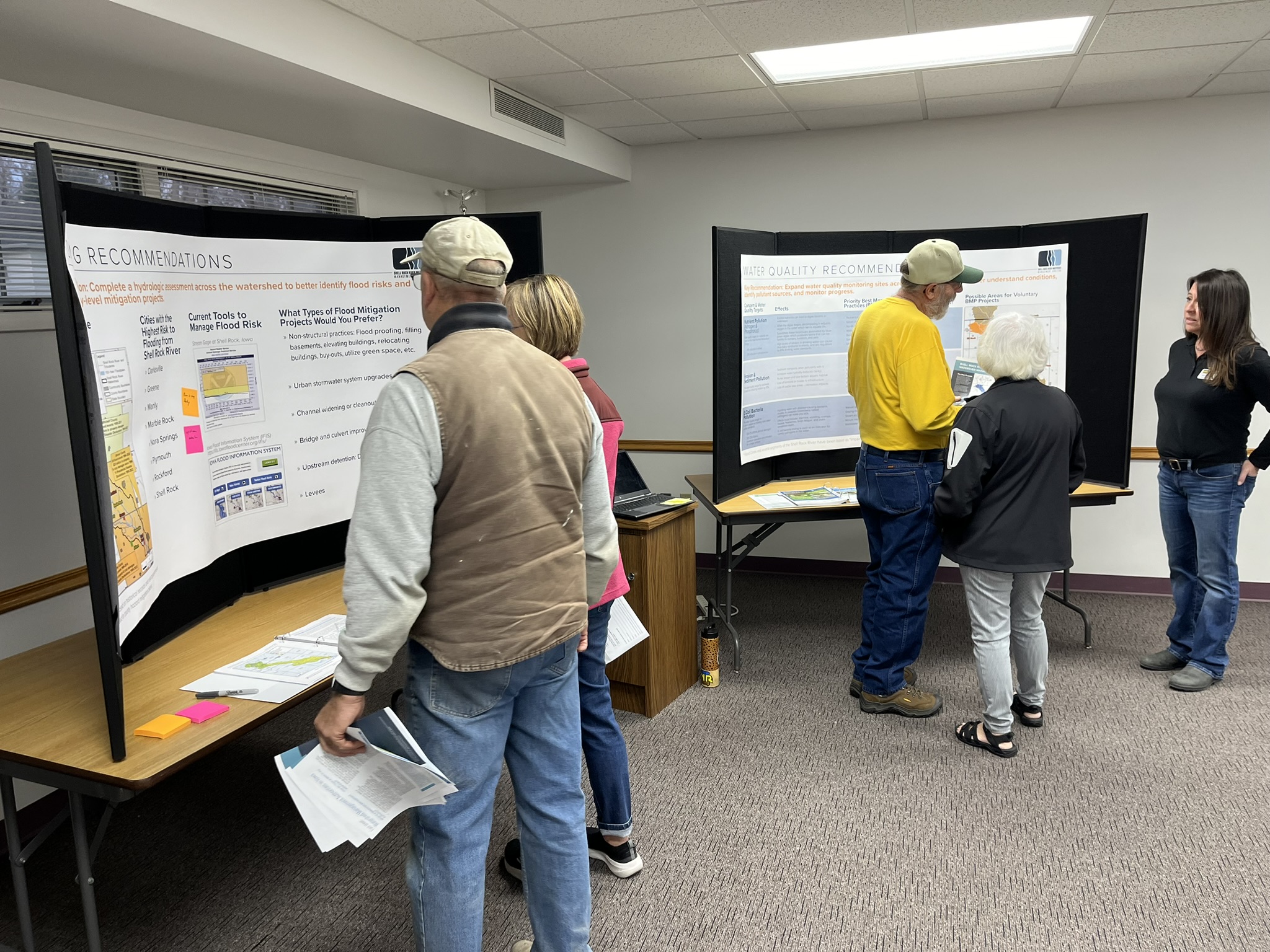
JEO Consulting Group (JEO) was hired by the Shell Rock River Watershed Management Coalition (SRRWMC) to assist in developing a watershed plan which addresses flood resiliency, water quality, recreation opportunities, and other resource concerns within the watershed. This process involved several steps, including:
- Review and analysis of existing data
- Identification and prioritization of goals and projects
- Facilitation of several stakeholder and public meetings, where input and feedback was gathered
- Provide a final watershed plan for adoption by the SRRWMC
The watershed planning process was complete in December 2023, and the final plan was adopted by the Coalition at the January 5, 2024 board meeting. A copy of the plan and it’s appendices, can be downloaded through the following links:
Text Color
#414141
Grid Layout
Three-Column
Latest Updates
Please monitor social media, newspapers, etc. for announcements when meetings will be held.
As the planning process takes place, copies of presentations, worksheets, and other project related materials will be made available to the public. Please review or download these materials by clicking the links below.
March 16, 2023 - Board Meeting
March 16, 2023 - Open House Meeting
April 6, 2023 - Quarterly Meeting
July 6, 2023 - Quarterly Meeting
1. Presentation
September 14, 2023 - Quarterly Meeting
1. Presentation
October 5, 2023 - Quarterly Meeting
Only brief project updates were provided at this meeting. Discussion was focused on ensuring public notifications were widely distributed for the upcoming open house meeting
November 15, 2023 - Open House, Public Meeting
4:00 - 6:00 p.m.
Nora Springs City Hall | 45 N Hawkeye Avenue
Join us to get an update on the Watershed Management Plan and proposed water quality, flooding and recreational improvements.
January 5, 2024 - Quarterly Meeting
At this meeting, the Coalition adopted the final watershed plan and it can be downloaded from the project website.
Background Color
#efeff0
Text Color
#414141
Grid Layout
Three-Column
Additional Links
Social Media
Links
- Floyd County, bylaws and officer information
- Worth County, copies of minutes and agendas
- Shell Rock River Watershed District (Minnesota portion)
- Middle Cedar Watershed Management Authority (neighboring watershed)
- Upper Cedar Watershed Management Improvement Authority (neighboring watershed)

#414141
Left